Approximate Length: 7.5 miles
Post numbers on map: 30 to 63 and 52
|

|
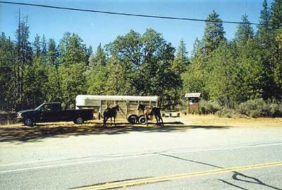
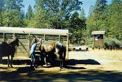
Highlights: Trailhead with easy access and parking for horse trailers, long trail, includes rocked logging roads
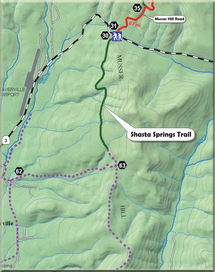
 Shasta Springs Trailhead from Hwy 3 Shasta Springs Trailhead from Hwy 3
|
The Shasta Springs Trail head is located on Highway 3 about 2 miles north of Highway 299. The Shasta Springs Trail includes both the Rush Creek Ditch and the Shasta Springs Wagon Road. Many portions of this old wagon road can be easily traced and it is important historically as it was the first wagon road into the basin used by early miners and settlers. Remnants of an old cabin can still be seen at Shasta Springs. The Rush Creek Ditch once brought water all the way from Rush Creek through Musser Flat to mines along the eastern side of the Weaverville Basin, terminating into lesser ditches along lower Musser Ridge above Shasta Springs.
Further south along the top of Musser Ridge, an old trail exists but is faint and difficult to follow in places. This is also the area where a new Weaverville Airport is proposed. Because of this, little work has been done to this section of the trail. If an airport is located here, trails should be included in the construction funding as alternative routes to the airport from town and as wildlife corridors, helping to mitigate environmental impacts. This land is currently owned by Sierra Pacific Industries, but is expected to be sold to Trinity County.
 Shasta Springs Trailhead Shasta Springs Trailhead
|
Return to the Weaver Basin Trail Home Page
|