Upper Trinity River Watershed Update
The District recently assisted the Forest Service in completing approximately forty miles of road inventory in the watersheds that drain from Pettijohn Mountain down into Trinity and Lewiston Lakes. The work consisted of two crew members driving on Forest Service roads from Tannery Gulch on the southwest side of Trinity Lake on down the western side of Mary Smith Campground near Lewiston Dam while collecting data pertaining to road conditions and erosion problems, as well as the diameter, conditions and location of all culverts crossing the road. The data, which was also recorded on a GPS datalogger, will assist the Forest Service in preparing maps as well as planning and management documents for this area.
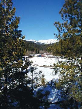
An Upper Trinity River Watershed community meeting was held on the evening of November 16th at the IOOF Hall in Trinity Center. The District provided an overview on the status of the Upper Trinity River Watershed Management and Action Plan and a presentation of the results of the landowner survey that was conducted last January. Graham Matthews, principal hydrologist for Graham Matthews and Associates, gave a presentation on the research he has been conducting pertaining to stream flows and sediment delivery as well as landslides within the watershed.
The results of the landowner survey are included in the District's Assessment Report as Appendix B. Anyone interested in being notified of future meetings should contact Pat or Noreen at 623-6004.
|